Meridians and Parallels: Explained

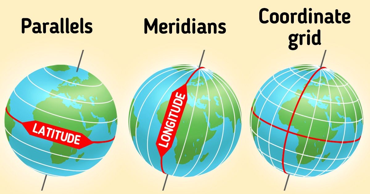
You’ve probably seen the lines that most maps and globes have. They are meridians and parallels forming a coordinate grid. Using these lines, we can find any place on the surface of our planet.
5-Minute Crafts is going to tell you what meridians and parallels are and how coordinates are identified with them.
1. Meridians

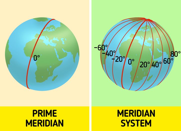
Meridians are imaginary lines going from the north to the south on the surface of Earth connecting both poles. They are geographical longitudes in degrees.
The prime meridian is located in Greenwich, London. It’s 0° and it splits the planet into 2 hemispheres. All the other longitudes are counted from the prime meridian. Together, they make a meridian system of 360°.
2. Parallels

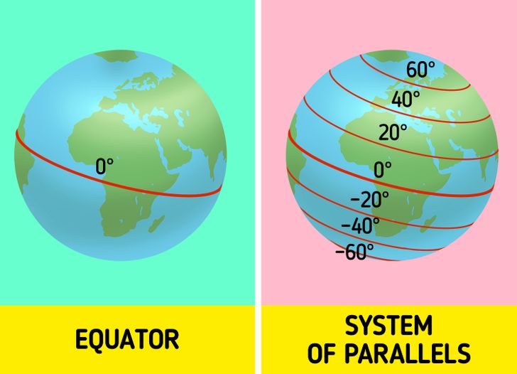
Parallels are imaginary lines going from west to east. They are parallel to the equator and are called latitudes.
The 0°-latitude is on the equator and it also splits the planet into 2 parts. All the other latitudes are counted from the equator. Together, they make a system of north and south latitudes.
3. Geographic coordinates

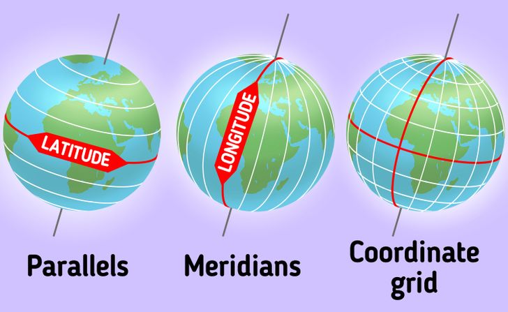
As we said before, meridians are geographic longitudes and parallels are latitudes. Together, they make a coordinate grid. You can use it to identify a position at any point on the surface of Earth.
There’s no unified standard of writing down geographic coordinates. They are usually counted in degrees but may also be split into minutes and seconds. For example, in GPS systems, you can see these options:
- Degrees, minutes, and seconds (DMS): 41°24’12.2"N 2°10’26.5"E
- Degrees and decimal minutes (DMM): 41 24.2028, 2 10.4418
- Decimal degrees (DD): 41.40338, 2.17403
The letters here stand for latitudes and longitudes:
- N — north latitude
- S — south latitude
- E — east longitude
- W — west longitude