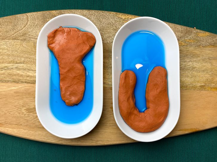
How to Explain Geography to a Child Using a Piece of Playdough
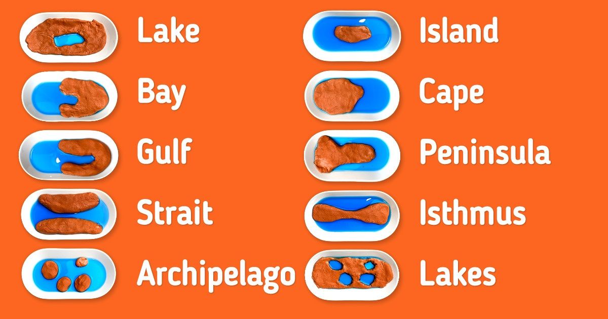
How do you explain to a child what a cape or bay is? These things will remain very abstract unless you board a helicopter and go see them with your own eyes. But in the Montessori method of education, there’s a way to show children the different types of terrain in the form of play.
We at 5-Minute Crafts found out how the Montessori system explains geography and tries to make study materials from the things anyone can buy and use.
Inventory
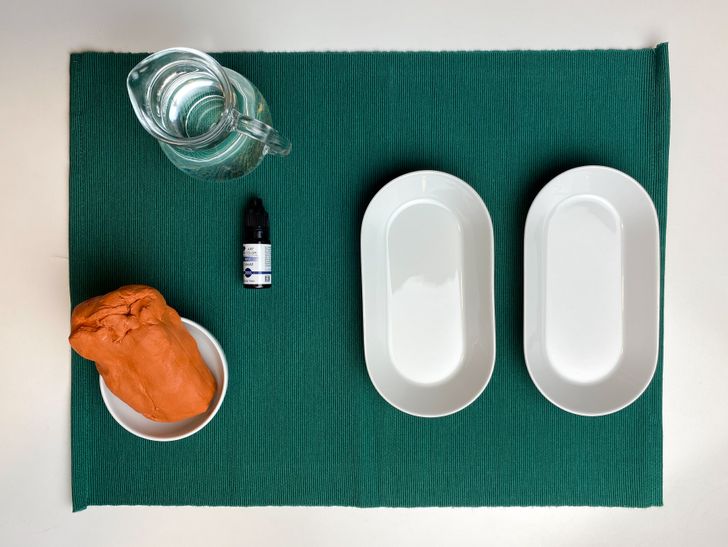
You’ll need:
- Clay or playdough
- Water
- Blue colorant
- 2 identical containers for pairs of models, like “lake vs island” (a total of 10 containers)
Preparations and recommendations

-
Add the blue colorant to a jar of water.
-
The water will represent the seas and oceans, so you can also use green or turquoise colors.
-
Make the models together with your child so that they can learn new things better.
-
Try to make each pair look similar. For example, in the pair “lake vs island,” try to make an island in a similar shape as the lake.

-
When the pair of models is complete, let the child pour the water.
-
Tell the child what each type of terrain is called and what shapes they are.
-
Talk about the types of terrains the child might have seen in your country.
-
Ask the child to repeat the names he or she has learned.
-
Look for the same terrains on a map.
-
If you want to make the materials more durable, use the clay that dries fast in the open air and remove the water from the containers after each use.
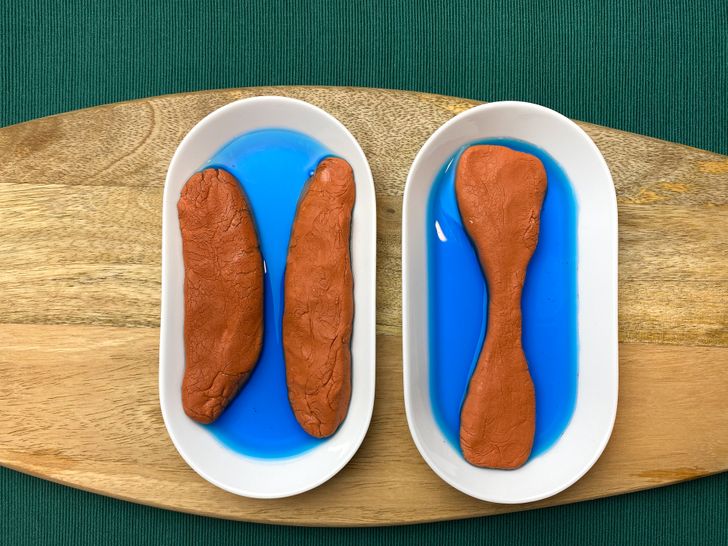
Strait vs isthmus
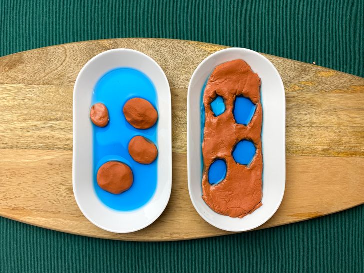
Archipelago vs a system of lakes
-
An archipelago is a chain of islands, or sometimes it’s a sea containing a small number of scattered islands.
-
A system of lakes is a group of lakes in the same area, usually containing fresh water.
Cape vs bay
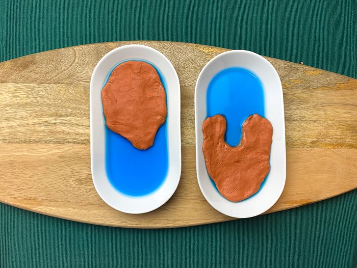
Lake vs island
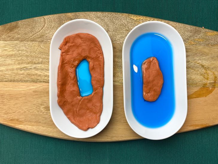
Peninsula vs gulf
